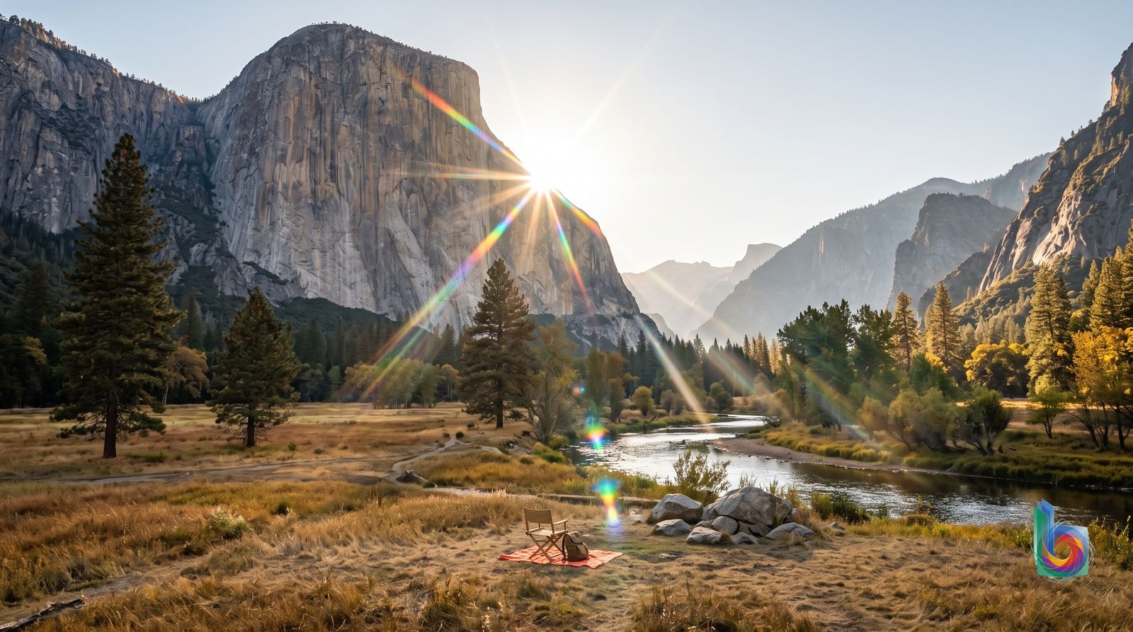
Season by season
December–February
Winter is the quietest, most atmospheric time in Yosemite Valley: snowy granite walls, clear light and far less traffic. Storms can bring chain requirements and temporary road closures; Tioga Pass and the high country are closed, so this is a Valley-focused trip.
Weather can disrupt driving and lodging plans, daylight is short, and cross-park touring is not realistic. Carry chains when required and do not plan a Reno/Tioga Pass approach.
March–mid-June
This is waterfall season, with peak snowmelt generally in late spring and early summer. Yosemite Falls is at its most powerful, meadows are green, and the Valley is spectacular—but popular. Trail conditions can range from dry to snowy or muddy depending on elevation and the year.
Crowds build sharply, especially on weekends; lodging and campsites sell out early. Higher trails and roads may still be snowbound, and runoff can make some crossings or trails hazardous.
Mid-June–August
Summer brings the broadest access: high-country roads and Tuolumne Meadows are generally snow-free once they open, and long hiking days are reliable. Yosemite Valley, however, is at its most congested; parking can be impossible and traffic makes driving miserable.
Expect peak crowds, high lodging demand and summer heat in the Valley. By late summer, several famous waterfalls fade to a trickle or nearly dry, so do not expect spring-waterfall conditions.
September–November
Early fall is Yosemite’s best overall compromise: cooler hiking temperatures, less crowd pressure than summer, and roads usually still open. September is particularly strong for hikers who do not need peak waterfalls. Autumn storms can arrive early.
Waterfalls are usually at their weakest, and an early snowstorm can close Tioga Pass or Glacier Point Road. By late fall, winter driving conditions and seasonal closures become increasingly possible.
Events worth planning around
Horsetail Fall ‘Firefall’ viewing period · Usually mid-to-late February, on clear evenings when the setting sun and sufficient flow align.
This is the Valley’s most consequential winter spectacle. It draws substantial crowds and can bring traffic management, parking restrictions and, in some years, a vehicle-entry reservation requirement. Check current NPS rules before committing to dates; the glow and waterfall flow are never guaranteed.
Half Dome cable season and permit period · Normally late May to early October, conditions permitting.
This is not a festival, but it is the season’s major access constraint for hikers: the cable route requires a permit, with a preseason lottery and limited daily lottery availability. Do not build a trip around winning a last-minute permit; snow or weather can delay opening or end the season early.
Memorial Day and Labor Day holiday weekends · Memorial Day: late May; Labor Day: early September.
These long weekends materially intensify Valley traffic, parking pressure and demand for in-park lodging and campgrounds. Reserve accommodation early and use the free Valley shuttle rather than trying to drive between sights.
Getting around
Free Yosemite Valley Shuttle
The default for moving between Yosemite Village & Cook’s Meadow, Yosemite Valley Lodge & Lower Yosemite Fall, The Ahwahnee, Curry Village, Pines Campgrounds and the main east-Valley trailhead area. It is the sensible choice after you have parked once.
Pick up the current stop map and timetable at Yosemite Village or your lodging. Use it to link the Valley’s big sights rather than repeatedly moving a car; no ticket is needed for the ordinary Valley shuttle.
It is not a citywide, late-night network. Service patterns can vary by season, and it is weaker for scattered West Valley stops such as Cathedral Beach, Bridalveil and some El Capitan pullouts. Mirror Lake & Tenaya Canyon still requires a substantial walk after the eastern-Valley access point.
Walking
Flat, close-together sightseeing: Yosemite Village & Cook’s Meadow, Sentinel Bridge, Lower Yosemite Fall, and routes between the Village and nearby north-side sites. Happy Isles is especially convenient from Curry Village & Happy Isles and Pines Campgrounds.
Carry water, sun protection and an offline or paper map; treat the Valley as a long corridor, not a compact village. Combine a walk with the shuttle when crossing from the east end to Yosemite Valley Lodge or Camp 4.
Distances become deceptive. Happy Isles is not a quick walk from Yosemite Valley Lodge, and Mirror Lake & Tenaya Canyon is a half-day-style wander rather than a short stop, especially in heat or with small children. There are no services at Mirror Lake.
Bicycle
A pleasant car-free way to cover the mostly flat central and eastern Valley—particularly between Yosemite Village, Cook’s Meadow, Curry Village, Housekeeping Camp and the Pines Campgrounds—when you want more freedom than the shuttle gives.
Use the Valley’s bike-friendly paths where available and ride predictably around pedestrians. Lock the bike and switch to walking for meadow viewpoints and trailheads.
It is not the answer for every attraction: west-end sights are spread out, roads can be busy, and the long approach to Mirror Lake & Tenaya Canyon can still feel demanding. Do not assume a bike removes the need to check current seasonal access and path conditions.
Private car
Reaching Yosemite Valley from outside the park, carrying camping equipment, or visiting the more dispersed West Valley corridor—El Capitan, Cathedral Beach and Bridalveil—where shuttle coverage may not reach every pullout equally.
Fill up before entering the Valley: there is no gas station there. Once parked at your lodging or a legal Valley lot, leave the car and use the shuttle, walk or bike for central sights.
In summer and other peak periods, parking can be impossible, traffic is heavy and many Valley roads are one-way; a missed turn can mean a long detour. Do not drive loops hunting for a closer space. Slow, enforced limits and pedestrians, cyclists and wildlife make this a poor way to sightsee.
YARTS regional bus
Arriving without a car, especially from Merced via Highway 140; it delivers travelers to Yosemite Valley, where the free shuttle and walking take over. It is also the useful seasonal public-transport option from Fresno on Highway 41.
Plan the regional bus around your accommodation and onward shuttle connection. Merced is the strongest no-car gateway because Amtrak and connecting services meet the Yosemite motorcoach there.
This is an access service, not a Valley circulation system, and Highway 41 service from Fresno is seasonal. Do not expect it to solve late-evening movements or reach every west-end pullout once you are inside the Valley.
Taxi and rideshare
Only as a backup for a pre-arranged transfer when you have confirmed both pickup and return; not for ordinary Valley sightseeing.
If you must use one, arrange it in advance and keep a fallback plan rather than relying on app availability in the moment.
Coverage is thin and return rides are not dependable, particularly away from Yosemite Village & Cook’s Meadow and the main lodging clusters, at west-end stops, and late at night. They are not a substitute for the Valley shuttle.
Safety: Treat Yosemite Valley as bear country: store all food and scented items in bear lockers, carry water and an offline map, and park once rather than driving its congested one-way roads.
Book before you land
- Treat Yosemite Valley as bear country, not a picnic park: never leave food, wrappers, coolers, toiletries, deodorant, or any scented item in a car or tent. Use the provided bear-storage lockers. A bear can cause thousands of dollars of vehicle damage for a snack smell.
- Carry food, water, layers, sun protection, and a paper/offline map before leaving Yosemite Village. Cell coverage is uneven, weather changes fast, and the dramatic-looking short hikes can become serious outings.
- Waterfall expectations need calibration: spring is thunderous; by late summer, several famous falls can be a trickle or nearly dry. Do not plan a once-in-a-lifetime Yosemite trip around a July photograph taken in May.
- Wildlife is not tame. Do not feed deer, squirrels, or birds; give every animal space. Make normal trail noise in brushy areas so bears and mountain lions are not surprised.
- Park speed limits are slow and enforced. They are not decorative: pedestrians, cyclists, deer, and bears share the roads, and Valley traffic makes aggressive driving pointless.
- For emergencies call 911; from a mobile phone, immediately say that you are in Yosemite National Park, since calls can otherwise reach dispatch based on your home-area code.
Worth leaving the city for
Tuolumne Meadows and Tioga RoadFull day — allow roughly 7–10 hours from Yosemite Valley including the drive, stops and a short hike.
This is the essential escape from the Valley’s traffic and vertical granite spectacle: high-country meadows, alpine lakes, granite domes and a much less built-up Yosemite. It is a better use of a second or third day than circling the Valley again. Go when the road is open; Tioga Pass Road is normally snow-closed from roughly November into spring, sometimes later.
Glacier Point and the Glacier Point Road viewpointsHalf day, realistically 4–6 hours from Yosemite Valley; budget more on busy summer weekends.
The Valley gives you the cliffs from below; Glacier Point gives the one view that explains the whole geometry — Half Dome, Yosemite Falls, the Valley floor and the high country in one frame. It is crowded and parking can be miserable on summer weekends, but the payoff is real. The road is seasonal, generally opening from late May and closing in October or November depending on snow.
Mariposa Grove of Giant SequoiasFull day — roughly 7–9 hours from Yosemite Valley once driving, parking/shuttle logistics and walking are included.
Giant sequoias are Yosemite’s other great natural monument, not an interchangeable add-on. The grove has more than 500 mature trees, including the Grizzly Giant, and its walkable lower section makes a sharp change from a Valley day of waterfalls and cliffs. The downside: it is south of Wawona, so it is not a quick Valley detour; treat it as its own outing.
Hetch Hetchy ReservoirFull day — plan about 7–9 hours door-to-door from Yosemite Valley, plus time for the hike you choose.
For travelers who want Yosemite scenery without Yosemite Valley density, Hetch Hetchy is the better reset: a dramatic reservoir valley, dam history and access to walks along the Tuolumne River. It is not a substitute for the Valley’s iconic first views, and reservoir access has restricted hours, but it beats another congested Valley lap for a return visitor.
Mono Lake via Tioga Pass and Lee ViningLong full day — allow 10–12 hours from Yosemite Valley.
This is the serious high-country day: cross Tioga Pass, then trade Yosemite granite for Mono Lake’s alkaline water, migratory birds and surreal tufa towers. It is a memorable contrast, not a convenient excursion. Only attempt it when Tioga Pass Road is open and weather is settled; the route is long and high.