January–March
The quiet, value-oriented season. Winter is generally mild in town, but short-lived snow, ice and rapidly changing mountain conditions can complicate Blue Ridge Parkway drives and higher-elevation hikes.
Cold or wet days are possible, daylight is shorter, and a snow or ice event can make mountain-road plans impractical.
April–June
One of Asheville’s two best windows for walking and hiking: spring green-up, comfortable temperatures and generally good conditions for being outside. May is the standout month.
Spring weather remains variable, and weekends become busier as outdoor season starts.
July–August
Warm to hot, humid summer weather, with afternoon thunderstorms common. The mountains can be a relief from lower-elevation heat, but weather can change quickly.
Heat, humidity and storm timing can disrupt outdoor itineraries. Summer events can push up lodging demand; Folkmoot in nearby Waynesville is a notable July pressure point.
September–October
The other prime season, with excellent walking and hiking weather; September is especially appealing. October foliage is spectacular in Asheville and on the Parkway.
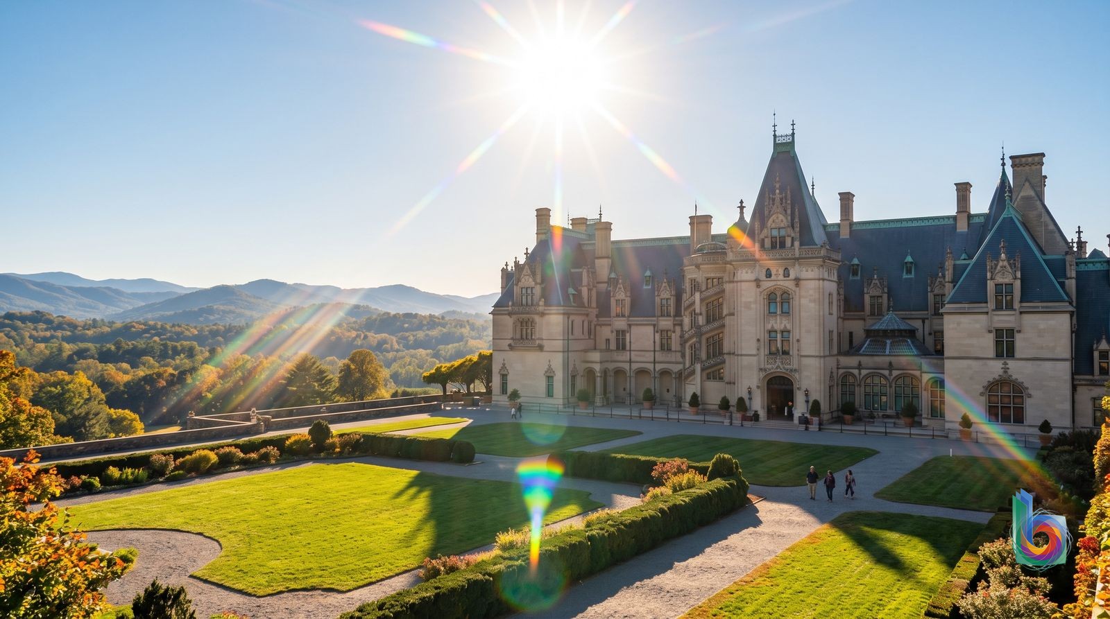
October—especially weekends—brings the year’s biggest lodging, traffic and reservation squeeze. Book accommodations, rental cars and Biltmore timed admission well ahead.
November–December
Crowds ease after peak leaf season and temperatures turn cooler. Early November can still offer attractive fall conditions; December suits a quieter city break more than a mountain-focused trip.
Weather becomes less dependable for hiking and Parkway driving, and winter mountain-road complications become increasingly possible later in the period.
Folkmoot USA International Folk Festival · Usually July; centered in nearby Waynesville, west of Asheville.
It can materially increase summer lodging demand in the Asheville area. If visiting in July, check dates before booking and reserve accommodation earlier than for an ordinary midweek summer stay.
Walking
Downtown Asheville: Pack Square, Grove Arcade, the Basilica, galleries, restaurants and most of South Slope. Downtown is the best base for a car-free short stay; South Slope is a manageable extension on foot.
Treat the center as a walking city and use a rideshare only for the outlying sights. From Montford/Chestnut Hill, the southern edge can work for downtown dinners, but confirm your exact hotel location first.
The city stops being pleasantly walkable beyond the core. Montford is hilly and its return walk is unappealing late at night; the River Arts District is long, broken up by river and industrial geography, and not a single strollable village. West Asheville, Biltmore Village, Grove Park/North Asheville and South Asheville are not practical downtown walks.
ART bus
A cheap daytime supplement when you are traveling between downtown and a destination that happens to be on a useful corridor. ART Station at 49 Coxe Ave is the network hub.
ART has 18 routes, costs $1 and runs Monday through Saturday. Carry exact cash because drivers do not make change, or pay by card or cash at ART Station. Check the schedule rather than assuming turn-up-and-go service.
This is not a metro-style sightseeing network: service thins substantially beyond downtown and walking can be faster within the center. It is particularly weak for spontaneous trips from West Asheville, the River Arts District, Biltmore Village/Kenilworth, North Asheville/Grove Park, East Asheville and South Asheville—and it is not a realistic answer for Parkway trailheads or late-night returns.
Uber/Lyft or taxi
Evenings out, brewery hopping without driving, and point-to-point trips to the River Arts District, Biltmore Estate, Grove Park Inn, West Asheville, Biltmore Village and trailheads. It is the sensible car-free complement to a downtown hotel.
Use it after ART service or when a bus timetable would consume too much of the day. Budget deliberately for rides if your itinerary is built around Biltmore, the RAD and mountain access rather than downtown.
Repeated rides add up quickly, especially if you stay in North Asheville/Grove Park, East Asheville, South Asheville or a dispersed part of the River Arts District. Do not count on a cheap, seamless rideshare solution for remote trailheads or Blue Ridge Parkway logistics.
Rental car
The Blue Ridge Parkway, waterfalls, hikes, trailheads and day trips. It is also the practical choice if you are staying in East Asheville, South Asheville, North Asheville/Grove Park, Kenilworth, or outside the compact downtown–South Slope core.
Rent for the nature portion of the trip, or for the full stay if your hotel is car-oriented. Check mountain-road and Parkway conditions on the day of travel; weather can change much faster at elevation than it does downtown. Keep valuables and hiking gear out of sight, especially at trailheads.
Do not rent solely for a downtown weekend. Parking, one-way streets and plans involving breweries or nightlife make a car more nuisance than freedom; downtown street meters operate Monday–Saturday, 8am–6pm. October foliage also brings traffic and parking pressure.
Safety: Use normal city precautions—keep bags and hiking gear out of sight in parked cars, especially at trailheads, and check same-day mountain weather and road conditions before heading onto the Blue Ridge Parkway.
Book before you land
Blue Ridge Parkway: Craggy Gardens or Mount MitchellHalf day for Craggy Gardens (about 4–6 hours door to door); full day for Mount Mitchell (about 7–9 hours). A car is essential.
This is the day trip that makes Asheville make sense: high-elevation balds, long Blue Ridge views, and short hikes rather than another round of downtown shops and breweries. Choose Craggy Gardens for the efficient version; go on to Mount Mitchell, the state’s highest peak, if you want a committed mountain day. Do not treat the Parkway as a reliable expressway: fog, ice, storm damage, and seasonal closures can change the plan.
Brevard and Pisgah National Forest — Looking Glass Falls and a proper forest hikeFull day, roughly 7–9 hours door to door by car.
Brevard is pleasant, but the point is Pisgah: Looking Glass Falls is an easy payoff, with real trail options beyond it. This beats an extra Asheville day for anyone who came for waterfalls and forest rather than urban sightseeing. In summer, expect crowded pull-offs and slick, wet terrain; do not make this a waterfall-photo-only drive.
DuPont State Recreational Forest via HendersonvilleFull day, roughly 7–9 hours door to door by car.
DuPont delivers the waterfall-and-granite landscape people imagine when they book a western North Carolina trip, with enough trails to turn it into a real day outdoors. Hendersonville is a useful lunch stop, not the reason to go. Go early on weekends; trailheads and the popular falls get busy.
Chimney Rock State Park and Hickory Nut GorgeMost of a day, roughly 6–8 hours door to door by car.
For maximum scenery per mile, Chimney Rock’s views over Hickory Nut Gorge are hard to beat, and the park has several hikes beyond the headline overlook. The honest catch is that it is privately operated and comparatively expensive; choose it for the gorge and views, not if you are trying to keep the day free.
Great Smoky Mountains National Park — Oconaluftee and a trail dayFull day, roughly 9–11 hours door to door by car.
The Smokies are worth leaving Asheville for if you will actually hike: Oconaluftee gives a strong gateway, and the park offers far more trail depth than the city’s immediate surrounds. It is not a casual add-on between brunch and dinner—the roads are slow, mountain weather changes quickly, and the most popular areas are busy.
Researched Nov 16, 2026